Plenty of swell inbound, with slightly tricky winds

Western Australian Surf Forecast by Ben Matson (issued Wednesday April 17th)
Features of the Forecast (tl;dr)
- Small surf Thurs, tiny metro beaches
- Extended period of overlapping swells from Fri thru' Tues, with small waves on the metro beaches
- Initial peak in surf expected Sun and then slightly bigger again Mon/Tues
- Generally OK winds through the mornings but each afternoon has a risk of cross/onshore breezes
- Unsure on winds Mon/Tues at this stage
Recap
Tuesday delivered great waves across the Margs coast with a mix of background SW and new S/SW swell providing 4-5ft sets to exposed spots, easing during the day. This morning saw stray 3ft sets before consistency dropped out and the swell lost more size. Both mornings were clean with light offshore winds with fresh southerly afternoon sideshore breezes bumping up conditions. Metro beaches have remained tiny to flat both days.
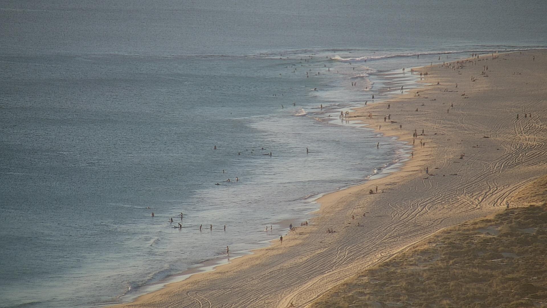
Lovely conditions on the metro beaches, just no swell!
(Please note: FC Notes will be variable in delivery this week as Craig is on paternity leave and Steve is covering Margs)
This week (Apr 18 - 19)
A low point in swell activity is expected on Thursday morning, before we see the leading edge of a new swell sequence arrive later in the day. This will herald an extended run of quality groundswell for the state though local winds look a little tricky at times.
Initially, Thursday afternoon’s pulse won’t amount to much however Friday should see a decent combination of W/SW thru’ SW swells providing occasional 4-6ft sets across the Margs region. Sets will be inconsistent at first but overall it’s expected to show a decent size by lunchtime. However this is a somewhat lower-confidence event as it was sourced way out between Heard Island amd Madagascar (from a fetch that was better aimed up into Indonesia), so the swell will have travelled a very long way to reach our coast.
Local winds in Margaret River look great on Thursday (unfortunately with the small residual swell energy); even the afternoon sea breeze doesn’t look like it’ll be as fresh as the last few days.
Friday’s winds look slightly problematic with a risk that we’ll see moderate northerlies crop up from mid-late morning (early E/NE should offer clean conditions for a few hours though). As such the new building swell may slightly go to waste at many spots.
Across metro beaches, and Thursday will remain very small but Friday shold see a minor pulse to 1ft, maybe 1-2ft across the Mandurah and Perth coasts. Morning E/NE winds will precede afternoon S/SE breezes (Thursday) and light afternoon northerlies (Friday). As such, keep the diary flexible for a quick fitness paddle on Friday.
This weekend (Apr 20 - 21)
Overlapping swell trains are expected from Friday thru’ Tuesday, from a conveyer belt of fronts pushing through the Southern Ocean over the last few days that will maintain intensity fwithin our swell window right through into the weekend.
It’s hard to pin down specific size estimates for precise time frames - because it’s hard to perfectly understood what the exact mix of swells will be at any one point in time - there could be one, two or three swells trains in the water, each of which could be building, peaking or easing, and the combined energy will perform differently from break to break as the swell periods shift up and down the spectrum.
So, the best plan for now is to assess the overall trend, which is - relative to the weekend - it's likely to be biggest on Sunday, a little smaller on Saturday.
I’ll peg size across the Margs region both days to over somewhere in the 4-6ft range, and expect a period on Sunday where wave heights punch a little higher for a few hours, maybe 6-8ft.
The weekend has some concern with the wind outlook. Saturday has a modet northerly risk, though it’ll likely be offshore NE through the morning at least.
Sunday is where the models start to diverge, and we’ve got some conflicting guidance right now - but an approaching front (due to bring much larger surf Mon/Tues) may potentially bring an onshore wind change into the afternoon. So, right now the morning looks safe with light winds but we’ll have to eyeball this a little more closely in Friday’s update.
As for the metro beaches, small waves are expected this weekend with morning offshores and afternoon sea breezes. As per the lower SW, Sunday has the most size potential and we may see a period of 2-3ft sets across the metro swell magnets (bigger in Mandurah) but otherwise expect 1-2ft surf both days.
Next week (Apr 22 onwards)
Despite the divergent model guidance lowering the confidence bar for next week, the outlook remains strong from a swell perspective - it’s just that local winds are quite unsure at this early stage. However Monday and Tuesday are on track for solid 6-8ft+ waves across the lower SW and there’ll be plenty of options across metro coasts too.
More on this in Friday’s update.