Plenty of swell on the way, decent conditions too

Western Australian Surf Forecast by Ben Matson (issued Monday April 15th)
Features of the Forecast (tl;dr)
- Easing SW swell Tues, with a building arvo S/SW swell (only in Margs), easing Wed
- Favourable morning offshore winds, afternoon sideshore sea breezes
- Tiny to flat across metro beaches Tues/Wed/Thurs
- Extended series of swells building Fri onwards, initially peaking early Sun and then showing biggest late Mon/Tues
- Small waves across metro beaches throughout this period
- Generally OK winds most days
- Plenty of surf into the longer term too
Recap
The weekend was very small across the lower SW, and flat throughout the metro beaches. A new long range SW groundswell built up into the 3-4ft range at Margaret River today, but surf size has remained very small to the north. Winds have been offshore each morning with fresh sideshore breezes into the afternoons.
(Please note: FC Notes will be variable in delivery this week as Craig is on paternity leave and Steve is covering Margs)
This week (Apr 16 - 19)
Today’s SW swell will ease slowly through Tuesday, but a second S/SW groundswell will build through the day - initially small in size, and likely to reach a late afternoon peak.
This swell was generated by an impressive polar low that deepened off the ice shelf late last week however it formed right on the eastern periphery of our swell window, which means the swell energy will glance the coast with a lot of south in direction. It’s terrible news for Mandurah and Perth (which won’t see much energy from it) and across the lower SW we see much more variable results as the energy bends into some locations more efficiently than others, steered by local bathymetry.
Regional swell magnets should reach 4-5ft on Tuesday afternoon (expect smaller surf early morning) before size then slowly eases into Wenesday.
Local conditions look clean for the morning session throughout Margaret River but the afternoon will see freshening sea breezes from the south, which will accompany the building trend. There won’t be enough size for sheltered spots.
Wednesday morning should revert back to light offshores ahead of a similar sideshore pattern for the afternoon as wave heights ease back.
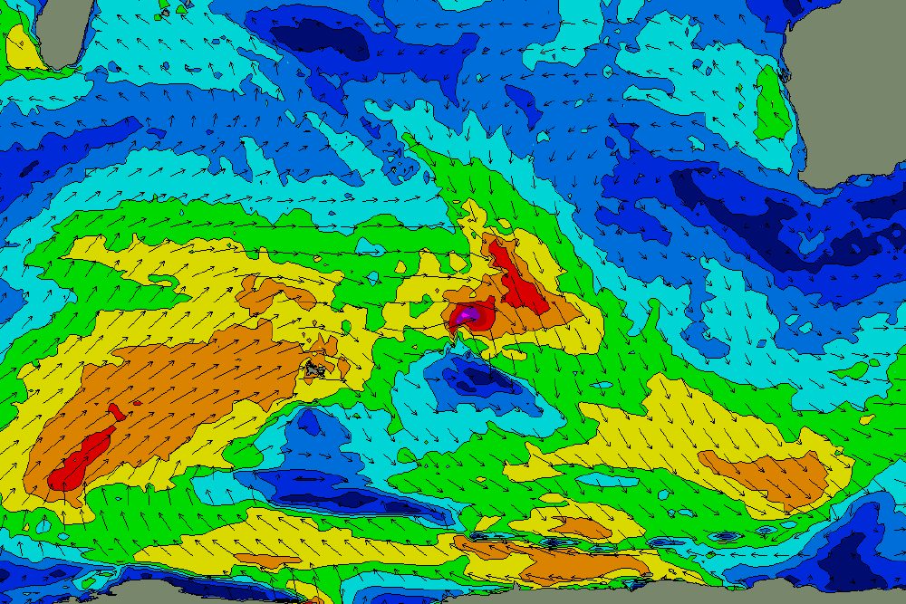
Thursday will then be a slow point in surf as all swells fade in size (note: model guidance has faint long period energy making landfall early morning, but I don’t think it’ll top much more than 2-3ft in the SW) ahead of a series of overlapping W/SW thru’ SW swells, generated by a progression of moderate to strong frontal systems wrapping around a slow moving upper level Long Wave Trough in the Central Southern Indian Ocean (see below).
In fact, this pattern will produce strong surf right through into the middle of next week (early next week will probably see the most size) but we’ll see good waves showing from as early as late Thursday; Friday is a better bet with surf size expected to increase into the 4-6ft range across the Margs coast. Sets will be quite lully and inconsistent at first, though consistency should start to increase as follow up swell trains arrive and blend into the mix.
We should see small waves filter into the metro coasts but probably not much more than 1-2ft.
As for local conditions, Friday is at risk of developing northerly winds, though they’ll be light and NE in the morning so there should be some very nice options across the region.
This weekend (Apr 20 - 21)
As these fronts start to move a little more closely to the mainland, we’ll remain under a northerly risk all weekend though local pressure patterns will remain light both mornings which should allow for several hours (at least) of light offshore winds.
Surf size will fluctuate all weekend as each overlapping swell trains arrives, peaks and then eases; general surf size should manage somewhere in the 4-6ft range at some point both days though there is a suggestion early Saturday may come a little undercooked. Conversely, Sunday morning will see the arrival of the strongest energy from the initial frontal sequence and exposed locations around Margaret River could push a strong 6ft to maybe 6-8ft for a few hours (most of the responsible fetch will be better aimed towards Indo though, so confidence is lower for Sunday's pulse, compared to what's expected on Mon/Tues).
In any case, swells sourced from distant storms like this are quite inconsistent however the overlapping swell trains should negate this effect a reasonable amount.
To the north, and both days should see small waves persisting across the metro beaches, fluctuating in and around the 2ft mark (slight under in Perth, slightly over in Mandurah). Conditions look to be clean with favourable winds early on.
Next week (Apr 22 onwards)
The LWT sequence will reach a peak early next week and we should see surf size pushing the 6-8ft+ range across Margs around Monday afternoon and maybe early Tuesday, easing back into Tuesday afternoon and Wednesday.
The good news is that the Southern Ocean will remain active beyond this, with another round of groundswell expected around Friday.
See you Wednesday!