Windy weekend; large swells and improving winds next week

Western Australia Surf Forecast by Craig Brokensha (issued Friday 6th June)
Best Days: Saturday and Sunday mornings around Perth and Gero, Monday morning up at Gero, Tuesday in protected spots, Wednesday onwards
Recap
Yesterday was another great winters day across the state with a building W/SW groundswell and offshore E/NE winds that tended variable into the afternoon, creating clean glassy surf across most breaks.
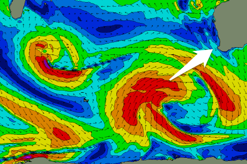
Today the swell has held in the large 6ft+ in the South West, but conditions were only favourable for a few hours this morning before the NE'ly kicked up. Perth continued in the 2ft+ range while Gero saw solid clean waves.
This weekend (Jun 7 – 9)
The weekend isn't looking too good in the South West, while further north around Perth and Gero, Saturday and Sunday should provide a few options.
The reasoning for the average outlook is a due to a strengthening northerly ridge down the coast linked to an approaching mid-latitude low from the Indian Ocean. This will create strong N/NE tending N'ly winds Saturday with a dropping swell from today, while Sunday will see winds swinging to the N/NW in the South West from the morning, and into the afternoon around Perth. Gero should be better with lighter NE tending NW winds.
Monday will be a write off around Margs and Perth as the front moves through bringing fresh to strong NW-W/NW winds. Gero should perform OK again with N/NE tending NW winds, and a large W/SW groundswell should fill in, associated with the front.
Next Tuesday onwards (Jun 10 onwards)
 As touched on last update, a strong node of the Long Wave Trough is expected to move across the south-west of the state during next week, and with this we'll see a series of vigorous polar fronts steered up towards us.
This is expected to generate a series of large SW groundswell pulses through next week, the first arriving through Tuesday ahead of a secondary reinforcing pulse Wednesday afternoon and Thursday morning.
Size wise, Tuesday's looks to be the largest with 8ft+ surf expected across exposed breaks in the South West, 3ft sets in Perth, while Gero should build to 5-6ft+ later in the day.
A secondary slightly more southerly pulse is then due on Wednesday afternoon but under the size of Tuesday's swell and probably in the 6ft+ range in the South West.
Winds on Tuesday will be favourable for protected locations with a fresh S/SE'ly while into Wednesday and Thursday winds should clock around from the SE to E/SE, creating gradually improving conditions.
Longer term the Long Wave Trough is forecast to push over east towards SA and Victoria resulting in a drop in swell activity into the next weekend and beyond. Check back here on Monday though for an update on the size of the swells and local winds next week. Have a great weekend!